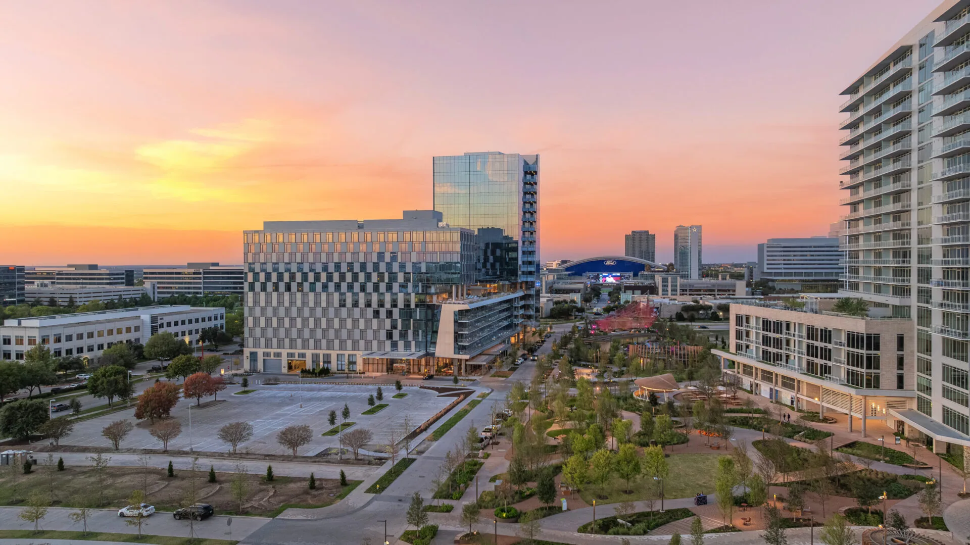
Aerial imagery can show roof layout, drainage patterns, and visible surface changes, but it cannot confirm every detail. In Frisco, a drone roof inspection begins with the decision the owner needs, the property access rules, and the conditions that could limit flight or image quality. We capture planned views of accessible roof areas and label them by section, then flag details that need a closer field check. Aerial review supplements a roof walk; it does not replace hands-on testing at seams, flashings, or concealed materials. Frisco's corporate offices, business parks, and mixed-use employment destinations include varied property settings where an overview can orient a repair discussion. A full roof inspection remains the next step when the decision depends on a close detail assessment.
Define What the Images Must Answer
Before planning a flight, we identify the question: locate a visible obstruction, orient a section map, record post-storm surface observations, or prioritize areas for closer inspection. That question determines flight paths, image labels, and the output the owner receives. If the goal concerns a suspected leak, we need the interior location and maintenance history to compare against the aerial image. If the goal is a broad condition overview, we mark roof levels, drainage paths, equipment clusters, and transitions. We state what the image can show and what it cannot establish. This keeps an aerial view from being mistaken for a diagnosis of wet insulation, membrane adhesion, or concealed deck condition.
Coordinate Site Access and Flight Conditions
The site contact confirms property permission, launch area, access hours, safety rules, nearby activity, and any restrictions that affect image capture. Weather, wind, precipitation, visibility, and roof glare can change whether a flight yields useful imagery. We set a fallback plan if conditions do not support the planned view. The building remains responsible for its access and operational procedures; we coordinate the survey around loading, customer traffic, and rooftop equipment service. We do not assume that one property's rules apply to another building in a business district. A written access window reduces the chance of interrupting occupied operations and gives the property team a defined point for receiving the image set and follow-up questions.
Build an Overview by Roof Section
Images are organized by level and roof section rather than delivered as an unlabeled collection. The overview identifies visible drains, equipment, transitions, and apparent surface changes that may need review. We compare the image plan with the building map or owner-provided layout where available and call out any section that could not be captured. Aerial perspective can help locate a broad area but can distort scale, hide conditions under equipment, or miss defects that are visible only at close range. We label those limitations directly. The result helps a building manager direct a later crew to the correct section and gives finance a visual reference for discussing repair boundaries. We preserve the original image labels when a repair estimate is prepared, so a bid can refer to the same roof section and transition. If the owner later changes the priority, the image set still records which areas were visible on the survey date and which were not.
Use Aerial Review After a Storm Carefully
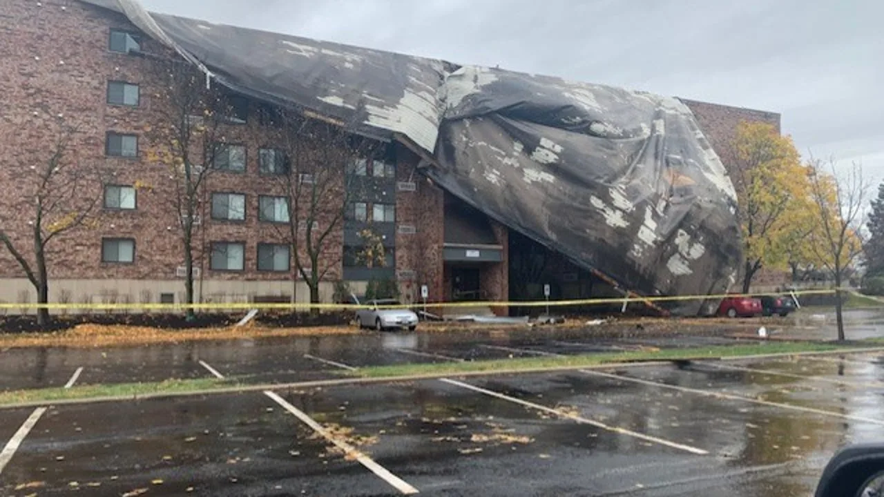
Post-storm images can record visible debris, displaced items, or surface marks that deserve closer review. They do not establish that all visible conditions were caused by the recent event, and they cannot prove a roof was struck merely because the surrounding region experienced severe weather. NWS describes spring as DFW’s wettest and severe-weather season, so dated aerial observations can help direct a closer property inspection. We label date, section, and visible observation, then recommend a hands-on check where impact or movement is suspected. A hail-damage inspection can document close-range evidence and distinguish observed impact from ordinary wear. The owner receives a dated record that can support a decision without overstating cause, with each follow-up point tied to a visible roof section and a field question.
Pair Images with a Field Check
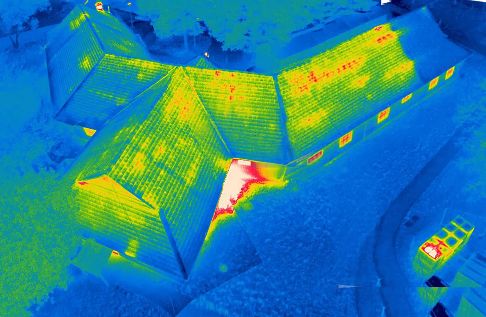
Aerial review is strongest when it directs the next inspection. We identify which seam, curb, edge, or drain needs access and what question the field check should resolve. A thermal survey, core, probe, or close visual examination may be appropriate depending on the assembly and the reported condition. Drone imagery alone cannot measure concealed moisture or verify a bond. The infrared moisture survey can help prioritize locations, followed by confirmation where needed. We keep the image conclusion separate from the test result so the owner sees the evidence chain. This reduces repeated mobilizations and keeps the next scope tied to an identifiable roof section.
Plan the Report for Maintenance and Capital Review
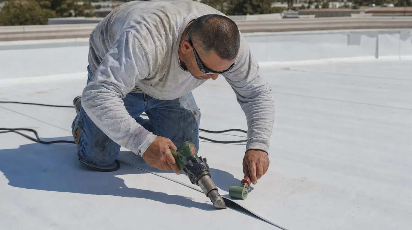
The image set includes a dated overview, section labels, visible observations, access limitations, and a recommended follow-up list. We can place the imagery alongside an existing roof condition report so prior repair locations remain visible. For a new baseline, the owner should preserve the section map and use the same labels in future inspections. A repair estimate then references the image location instead of saying only 'north side' or 'near equipment.' This approach is useful on broad roof fields along Frisco's Dallas Parkway and US 380 employment routes, where clear orientation can help coordinate access. The actual repair boundary still requires field verification at the property. If the visible surface is a TPO roof assembly, aerial color differences still need field review at seams and penetrations before a material conclusion is made. The Dallas Parkway corridor and US 380 help orient broad employment areas in Frisco, but neither route identifies the roof layout or access rules of an individual property.
Respect Privacy and Operating Boundaries
A commercial property may have active employees, customers, deliveries, or neighboring uses during an aerial survey. We plan capture to limit unnecessary views of people, neighboring properties, and non-roof areas. The owner identifies any sensitive zones and the delivery method for the image file. We keep the written report focused on roof observations, access conditions, and next steps. If the aerial view cannot answer the requested question without a close-up, we say so and recommend the more appropriate inspection. This measured approach keeps the survey useful to a property decision-maker and avoids implying that imagery provides a complete condition assessment for every part of a roof.
Commercial Roofing Questions
Can a drone inspection replace a roof walk?
No. Aerial imagery gives an overview and helps locate visible areas, but it cannot confirm every seam, flashing, attachment, or concealed condition. We recommend a field walk or targeted test when the decision depends on close inspection.
Can drone images find a leak?
They may help orient a search area or show visible drainage and surface conditions. A leak source requires comparison with interior evidence and field inspection of the relevant roof details. The image alone does not prove the water path.
What can affect a planned drone survey?
Wind, precipitation, visibility, glare, site access rules, surrounding activity, and the owner’s operating schedule may affect the timing or image quality. We coordinate a suitable window and identify any section that could not be captured.
What will the owner receive?
The owner receives labeled imagery by roof section, a short observation list, access limitations, and suggested follow-up checks. If a condition needs close inspection, the report names the detail and the question that remains open.
Are post-storm drone images proof of storm damage?
No. They document visible conditions on a stated date. Cause requires property-level inspection and supporting evidence. We separate observations from conclusions and recommend a closer assessment where marks or movement need verification.